
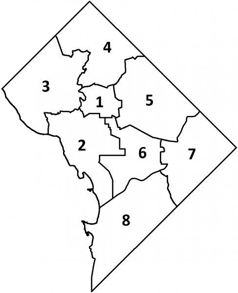
The boundaries of 8 Wards of the District of Columbia (along with those of the Advisory Neighborhood Commissions and Single Member Districts) are updated every ten years, based on the results of the latest Decennial Census.
The Ward boundaries shown on these maps were approved by the Council on June 21, 2011, and took effect on Jan 1, 2012.
- Ward 1 2012 Map in Adobe PDF Format
- Ward 2 2012 Map in Adobe PDF Format
- Ward 3 2012 Map in Adobe PDF Format
- Ward 4 2012 Map in Adobe PDF Format
- Ward 5 2012 Map in Adobe PDF Format
- Ward 6 2012 Map in Adobe PDF Format
- Ward 7 2012 Map in Adobe PDF Format
- Ward 8 2012 Map in Adobe PDF Format
- All Wards Map in Adobe PDF Format
- Interactive Map of DC Wards